
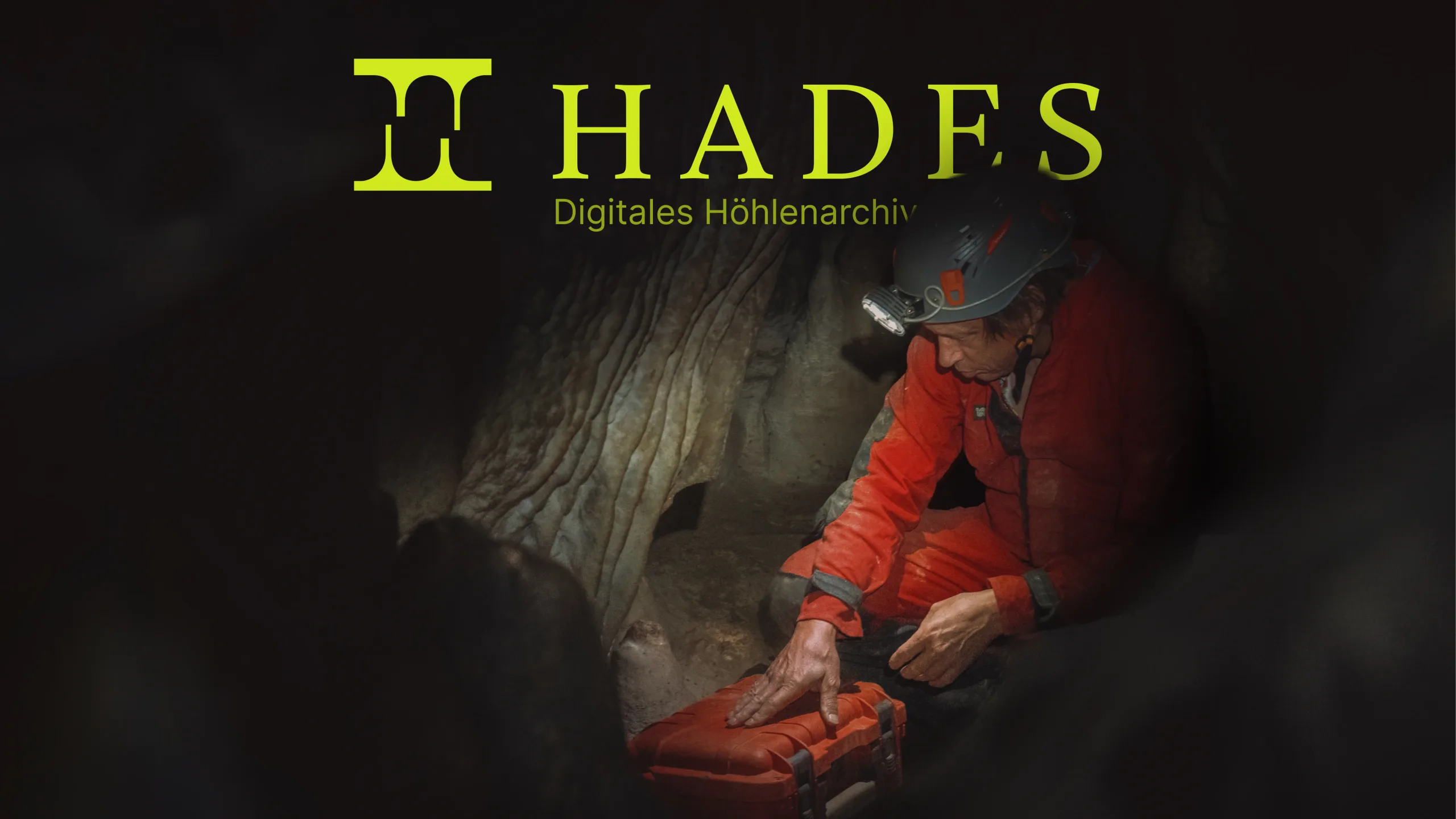
HADES.
Case study 01/10 — 2026
A digital cave archive: precise 3D capture in the field and secure, anonymised data sharing for science.
- Year
- 2026
- Disciplines
- Bachelor, UX/UI, Corporate Design, Research, Prototyping
- Team
- Jens Riesenberg, Kilian Köble
- Website
- hades-archive.de
- Prototype
- App prototype on Figma
Caves and karst regions are vital freshwater sources and historical archives, yet they remain under-documented and threatened. HADES introduces an integrated digital system for precise 3D capture and anonymized data sharing. Using a specialized field app for LiDAR and photogrammetry, users upload data to a secure web platform accessible to scientists worldwide. This structures and safeguards research for geology, climate, and archaeology while fostering global conservation.
- 24 interviews with cavers, scientists and app developers
- 106+ concepts ranked before the smartphone won
- 12% more battery life in cave mode
The situation.
What happens underground is often lost above ground.
Karst regions supply around 30 percent of the world's drinking water, caves are home to animals that live nowhere else, and their dripstones store thousands of years of climate history, much like the ice of Antarctica. Yet caves are being damaged by quarrying, tunnel construction, pollution and careless visits. Since 2018, German law protects them as especially valuable habitats, but you can only protect what you know. Cave research gets hardly any public funding, most of it is done by volunteers in local clubs, and what they find is scattered across clubs, institutions and individual researchers.
Photo: Hannes Köble
For our bachelor thesis we started with four nature topics: orchard meadows, invasive species, forestry and caves. Caves won, not least because the caving community welcomed us with open arms. Before the bat protection season began in October, after which caves can only be visited with experts, Marvin Ebert took us into the Falkenhöhle and Hannes Köble into the Mondmilchhöhle. Down there we took our first photos and LiDAR scans, and saw for ourselves how hard it is to document anything in mud, darkness and damp.
The idea.
We wanted to understand the whole system around a cave before designing anything.
Over 24 interviews in three phases we talked to the chair of the German association of cave and karst researchers, cave rescuers, a geologist at the Natural History Museum Vienna, a renowned biospeleologist, the developers of the cave apps CaveLife and Spelix, and the working group of the Charlottenhöhle show cave. A detailed stakeholder map put the cave at the centre and showed that researchers are the biggest lever: they generate the knowledge, pass it on and shape how the field develops.
From there we defined three groups: cavers who collect the data, scientists who use it, and authorities and planners who are affected by it. With Crazy 8s, partly together with other project groups, and the Walt Disney method, we came up with more than 106 concepts, from helmet-mounted LiDAR to autonomous cave drones. An S-tier ranking and a Kano board sorted them by relevance and feasibility. Scanning with a smartphone won: it is realistic, widely available and needs no hardware of our own. The Walt Disney method also made one requirement impossible to ignore: the exact location of a cave has to stay protected.
The making.
Underground, a touchscreen is close to useless: hands are muddy, gloves are wet and it is pitch dark.
So everything that matters in HADES works without touching the screen. The scan uses the phone's LiDAR sensor, or photogrammetry if there is none, shows the scan quality live along the edge and warns about bad light or too little movement. Afterwards the app suggests what was scanned, and the details can be added by voice. Freely assignable physical buttons start, cancel and configure a scan, and lock-screen widgets cut the number of interactions by up to half.
A caving trip can last many hours without a socket in sight, so energy became a design material. The interface is pure black, which lets OLED screens switch their pixels off entirely, and a light green with a contrast ratio of 15.38:1 guides the eye. Before going in, cavers set an alarm time: if they are not back in time, the contacts they chose get a text message with the exact location of the cave. Cave mode then switches off Wi-Fi, mobile data and Bluetooth, dims the screen and limits background activity, which adds about twelve percent of battery life. Cave plans and a one-by-one-kilometre surface map are stored on the phone for offline use.
3D scan: Tavernier Amaury on Sketchfab, CC BY-NC-SA 4.0
The name comes from Greek mythology: Hades rules the underworld. The logo reduces the two best-known dripstones, a stalagmite and a stalactite, to two shapes facing each other. Gambetta sets the headlines, Geist the interface and Geist Mono the data. On top of the coolicons set by Kryston Schwarze we drew around 40 cave-specific icons, from dripstones to palaeontology, and built every component with press states and animations, so that our seven user tests with cavers felt like using a real app.
The outcome.
HADES is two products that share one archive.
The app is for cavers: a map of every cave they have access to, cave projects organised like a cadastre, and the scan. The website is for everyone else, above all researchers in geology, palaeontology, archaeology and climate research. Every scan arrives there anonymised, with the cave's name hidden and its position blurred into a ten-by-ten-kilometre grid, and is free to use for research and teaching under a CC BY-NC licence.
Background photo: Iswanto Arif on Unsplash, Unsplash License
The catalogue lists every scan with filters for category, size and tags, using short codes such as G-DS for Geology Dripstone so the data works across languages. The map shows where scans cluster without giving a single cave away. Each scan opens as an interactive 3D model that can be turned, measured and switched between mesh and point cloud, and up to four scans or whole caves can be dragged into a comparison view side by side.
3D models: Global Digital Heritage, CC BY-NC 4.0The Hunt Museum, CC BY 4.0Virtual Curation Lab, CC BY-NC-ND 4.0Gray Fossil Site & Museum, CC BY 4.0Arbeitsgruppe Charlottenhöhle 3.0Further images: Pinterest, public domain
The project has since been published in a specialist publication of the ArGe Grabenstetten and presented at the annual conference of the German association of cave and karst researchers. A release plan in three stages and a financing plan show how a small team could build HADES, and we plan to keep developing it until cavers can actually take it underground.
3D scan: Tavernier Amaury on Sketchfab, CC BY-NC-SA 4.0
Impressions.
9 images — hover to roll, click to enlarge
 Next frame — 02/10 Helping municipalities govern the airspace above their towns, together with the people who live there. View project