
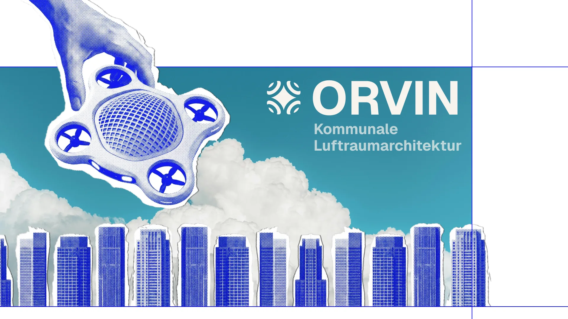
Orvin.
Case study 02/10 — 2026
Helping municipalities govern the airspace above their towns, together with the people who live there.
- Year
- 2026
- Disciplines
- UX/UI, Strategy, Research, Prototyping
- Team
- Jens Riesenberg, Kilian Köble, Marsha Tasch, Semiha Özyakan
- Prototype
- orvin-plum.vercel.app
ORVIN enables municipalities to proactively manage urban airspace through participatory governance. By bridging the gap between drone technology and societal integration, it establishes frameworks that ensure public acceptance and safety. Through practical applications like medical drone deliveries in Schwäbisch Gmünd, ORVIN provides urban planners and policymakers with the tools to govern the sky as a vital extension of our public space.
- 400k+ drones already in circulation in Germany
- 3 phases, from the set of rules to the scalable system
- 3 software modules: fleet manager, infrastructure and citizen platform
The situation.
Cities were built for people, and every era has left behind its own infrastructure; today that includes roads, rails and utility lines.
The airspace above our cities is the level that comes next, even if we aren't prepared for it yet. In Germany, more than 400,000 drones are already in circulation, and commercial use is growing rapidly: by 2030, every fifth drone is expected to be operated commercially.
So far, municipalities act case by case, without an overarching strategy. Responsibilities blur between the federal government, the states and the authorities, the population meets the topic with scepticism, and regulation lags behind technical development. With U-space, the EU has formulated the vision of an orderly urban airspace, but it remains a vision as long as nobody builds the concrete tool that makes its implementation possible. “The drones could already fly, they just aren't allowed to yet.” The real bottleneck isn't flight technology but the low urban airspace as a disordered level in between. This space, within reach above our heads yet functionally invisible, is what ORVIN makes the subject of its design.
ORVIN addresses five problems. The implementation gap: between technical feasibility and the vision of an orderly airspace there is a gap. ORVIN translates the abstract U-space vision into a concrete, compatible tool with which municipalities can classify their airspace in a structured way and prepare decisions. Missing infrastructure for airspace management: without defined corridors, sites and a digital control system, there are no routes on which regulated operation could run. ORVIN plans physical infrastructure, from hubs and pick-up points to weather stations, and makes its expansion plannable for municipalities. A lack of municipal capacity to act: the problem is no longer a technical one but an organisational one. ORVIN puts the municipality at the centre and gives it a level of action that turns distributed responsibilities into a controllable system.
A lack of public acceptance: acceptance comes from experience, not from education. ORVIN anchors trust firmly in the system, through transparency registers, labelling and a deliberately friendly drone. A looming loss of digital sovereignty: if municipalities don't shape the airspace themselves, private corporations will set the rules. A licence model anchors the municipality as the authority that regulates and collects the revenue.
The idea.
Drones have long worked reliably from a technical point of view.
The real problem is the space in between, between what is technically possible and what hasn't yet been thought through socially, politically and spatially. That gap between vision and tool is where we place ORVIN: a digital overall system that enables municipalities to prepare the urban airspace and to shape it in an orderly way, together with the population through participatory processes, instead of reacting to individual cases. We also recognised that the psychological perception in the interaction between people and machines plays a major role in acceptance, and ORVIN contributes a substantial change to it with a set of rules. Overall, ORVIN is comparable to today's road traffic regulations, which, through their influence on the public, give a comprehensive sense of safety.
Within a large system of phases, the project connects municipal software for control and infrastructure expansion with a concrete use case: medication delivery by drone in Schwäbisch Gmünd, a realistic first use case that comes with a certain basic acceptance because it is medically necessary. Primarily, the ORVIN fleet manager is aimed at urban and municipal planners and municipal decision-makers, who plan, control and are responsible for the urban airspace. Secondarily, the ORVIN citizen platform addresses the local population: for low-threshold ordering, for participation and for a transparent view of flight activity. Beyond that, infrastructure operators, UAS technology providers and regulatory authorities are involved, whose interplay ORVIN presupposes as a framework and connects in operation. The airspace is part of our shared public space, and we have to shape it now.
The goal is to develop an orientation and structuring tool for municipalities, in the form of a software system, that closes the gap between technical feasibility, the vision of the EU U-space and what municipalities are actually able to do. Municipalities should be able to classify their airspace in a structured way instead of having to react case by case. In the long term, this lays the foundation for established and accepted infrastructure to be available in an emergency, instead of having to be improvised in the moment of crisis. “The airspace above our cities will come, whether we are prepared or not. The only question is whether we shape it or let it be shaped for us.”
The three phases, from the rule to the scalable system: ORVIN can't be built in one go; it grows from a concrete, tangible starting point into a complete system.
-
Phase 1 — Set of rules
Altitude layers as the “road traffic regulations of the air”
Phase 1 establishes a set of rules that, as the “road traffic regulations of the air”, creates the legal and structural foundation. Through defined altitude layers, ground zones, speeds and target groups, the airspace itself becomes plannable infrastructure. This phase is the precondition without which nothing else holds.
-
Phase 2 — Implementation
Medication delivery in Schwäbisch Gmünd
Phase 2 is the actual focus of the design. Using Schwäbisch Gmünd as an example, the vision becomes a functioning municipal ecosystem that coordinates medication delivery by drone in day-to-day operation and serves as a proof of concept for urban and rural areas. This is where the system becomes tangible, testable and something you can experience.
-
Phase 3 — Scaling
Expansion through commercial use cases
Phase 3 scales the model by bringing in further use cases and makes it economically viable through a licence and fee model. The airspace becomes controlled infrastructure that is, in principle, open to many uses.
The making.
The core of the work is the ORVIN software.
ORVIN doesn't act as an operator but as an enabler: the municipality buys the tool, expands the infrastructure on its own and runs operations itself, while ORVIN supplies the system, the standard and support. The system is divided into three clearly separated modules.
The fleet manager is the municipal control level. Through a modular dashboard, a live map view with a 2D/3D toggle and a layer system, and detail views of the drones, staff always keep track of utilisation, orders and where action is needed in the network.
The infrastructure module plans and manages the physical infrastructure. Based on collected traffic and utilisation data, the system suggests locations, for example for pick-up stations or weather stations. Every element can be configured live and assessed with a forecast of its added value and costs.
The citizen platform gives end users low-threshold access: to order medication, to take part and to see flight activity transparently. It is the consistent digital continuation of the labelling principle and makes flight purposes, operators and noise levels publicly searchable.
The outcome.
The drone is the most visible and most emotionally charged element of the system.
It isn't a technical object that was made “nice” afterwards, but a means of communication that translates regulation and psychology into a form that is readable, accessible and trustworthy in everyday life.
The organic, rounded basic shape looks less threatening, and the shrouded rotors increase safety and take the sharpness out of the silhouette. An abstracted “face” of two headlights creates empathy without tipping into the uncanny valley, and the hollow, mesh-like centre section makes the inside visible.
“You should never build a drone without the people below it understanding who it belongs to and what it does.” Areas for municipal branding, an identification plate and a visible camera status physically anchor the requirements for labelling, data protection and municipal ownership on the device.
Impressions.
3 images — hover to roll, click to enlarge
Next frame — 03/10 A case study on accessible navigation. View project 